What Did We Ever Do Before Google Maps?

I’m old enough to remember traveling to far away places with only paper maps. You’d pack them with your luggage…because you couldn’t unfold a huge paper map on an airplane.
Like many people, I’m no longer able to read paper maps without a microscope; so I use Google Maps all the time (and I mean ALL the time)—and it just never stops getting better year after year.
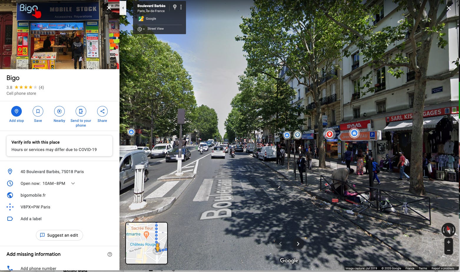
Here’s an example, next week I have to go to apart of Paris that I know but haven’t been to for a long time. I fired up Google Maps on my laptop and plop myself down on a large plaza near where I’m going to see if any of it looks familiar.
I was so impressed. I had to take a screenshot of what I saw. (Maybe this is old news but it’s new to me.) You’re looking down the street and little button overlays show up in front of the businesses that you can see in your Maps view. If you click on the button, you get information about the business and a photo of the store front so you can see, in advance, if that looks like somewhere you want to go.
It’s even more impressive when you experience it live. Go try it!